Self-Drive Route Planner

Iceland Road Trip Itineraries: Ring Road, South Coast, Golden Circle & Highlands

Realistic day-by-day driving itineraries built around actual Icelandic road speeds, daylight hours, overnight campsite and town stops, and the right vehicle for every route.

Last Reviewed: April 2026 Routes Covered: 5, 7, 10 & 14 Days + F-Roads Speed Limit Note: Max 90 km/h paved · 80 km/h gravel
01 / Route 1 Fundamentals

The Iceland Ring Road (Route 1): Distance, Pace & Direction

Iceland’s Ring Road (Þjóðvegur 1) forms a 1,322 km (821 mile) loop circling the island. While that sounds like two days of highway driving at home, adding waterfall detours, scenic fjords, and photo stops easily brings the true driving distance to 1,900–2,400 km.

How Many Days?

Minimum 7–8 Days (10+ Ideal)

In summer (May–August), 7 full days is the minimum to complete the full Ring Road without rushing. Between October and March, shorter daylight (4.5–7 hours) and winter road closures make a focused South Coast + Snæfellsnes itinerary much safer if you have 7 days or fewer.

Clockwise vs. Counter-Clockwise

Follow the Weather Forecast

Most travelers drive counter-clockwise (South Coast first), hitting Seljalandsfoss, Vík, and Vatnajökull in the first 3 days. If you rent a campervan or tent-camp, check vedur.is upon landing and drive whichever direction has calmer wind and drier skies.

Daily Driving Limit

Aim for 200–280 km Per Day

Iceland has zero multi-lane motorways outside Greater Reykjavík. The maximum speed limit on open paved roads is 90 km/h (55 mph) and 80 km/h (50 mph) on gravel, enforced by automated speed cameras. Plan 3 to 4 hours of wheel time per day so you have time to hike and soak.

02 / Interactive Iceland Route & Landmark Map

Interactive Map of Must-See Iceland Road Trip Stops & Photos

Click any numbered pin along Route 1, the Golden Circle, Snæfellsnes, the Westfjords, or the Highland F-roads to view destination photography, GPS coordinates, the nearest overnight campsite, and the right vehicle for that stretch.

16 Plotted Road Trip Landmarks • Ring Road, Fjords & Highlands

Explore Iceland's Top Waterfalls, Glaciers & Canyons on the Map

Select a region tab or click any pin on the map to preview stops, nearest campsites, and road requirements.

2WD / Paved Access 4x4 / Highland Track Route 1 (Ring Road) Highland F-Roads
Click any numbered pin on the map (16 plotted) to view photos, GPS & vehicle match
#1
66°N · ARCTIC COAST VATNAJÖKULL LANGJÖKULL HOFSJÖKULL WESTFJORDS SNÆFELLSNES NORTH ICELAND EASTFJORDS SOUTH COAST CENTRAL HIGHLANDS ✈ KEF 1 2 3 4 5 6 7 8 9 10 11 12 13 14 15 16 #1 Þingvellir National Park …
Almannagjá tectonic canyon and river at Þingvellir National Park
#1 · Golden Circle • Day 1 UNESCO Rift Valley

Þingvellir National Park & Silfra Fissure

📍 GPS: 64.2559° N, 21.1295° W 🚗 Paved Route 36 (2WD OK)

Walk between the North American and Eurasian tectonic plates where Iceland’s Alþingi parliament met in 930 AD. Allow 1.5–2 hours for the gorge walk and Öxarárfoss waterfall, or 3 hours if snorkeling Silfra.

⛺ Nearest Overnight Campsite: Þingvellir Leirar Campsite (On-site)
Almannagjá tectonic canyon and river at Þingvellir National Park #1 on Map
UNESCO Rift Valley 2WD / Camper Accessible

Þingvellir National Park & Silfra Fissure

📍 Golden Circle • Day 1 · 64.26°N, 21.13°W

Walk between the North American and Eurasian tectonic plates where Iceland’s Alþingi parliament met in 930 AD. Allow 1.5–2 hours for the gorge walk and Öxarárfoss waterfall, or 3 hours if snorkeling Silfra.

⛺ Camp nearby: Þingvellir Leirar Campsite (On-site)
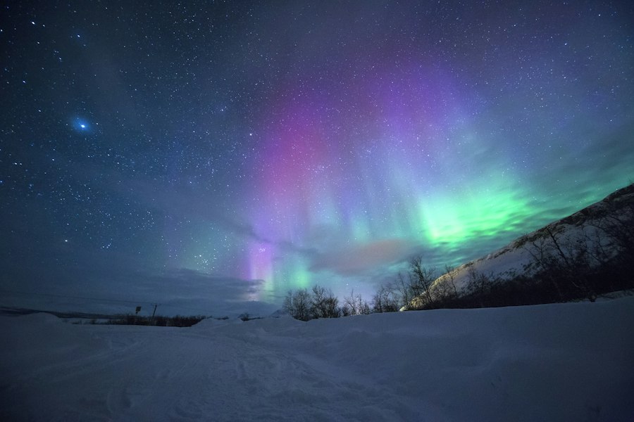
Powerful waterfall mist and golden light in Southwest Iceland #2 on Map
Geyser & Glacial Waterfall 2WD / Camper Accessible

Geysir Geothermal Area & Gullfoss Waterfall

📍 Golden Circle • Day 1 · 64.33°N, 20.12°W

Watch Strokkur erupt boiling water 25 meters into the air every 6–10 minutes at Haukadalur, then drive 10 minutes east to two-tiered Gullfoss waterfall plunging into the Hvítá canyon.

⛺ Camp nearby: Skjól or Gullfoss / Úlfljótsvatn Campsites
Steaming milky-blue geothermal lagoon surrounded by black lava rock in Iceland #3 on Map
Geothermal Spa & Lava Fields 2WD / Camper Accessible

Reykjanes Geopark, Blue Lagoon & Sky Lagoon

📍 Reykjanes & Capital • Arrival / Departure Day · 63.88°N, 22.45°W

Located 20 minutes from KEF Airport, Reykjanes features steaming fumaroles at Gunnuhver, dramatic coastal cliffs at Reykjanesviti, and mineral-rich geothermal lagoons. Book timed entry 2+ weeks ahead.

⛺ Camp nearby: Grindavík or Reykjavík Eco Campsite
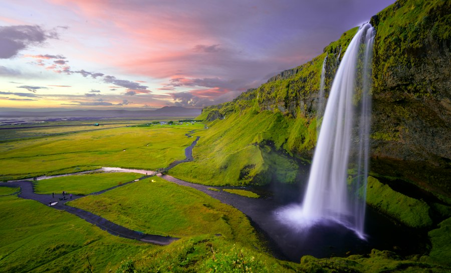
Walkway behind the curtain of Seljalandsfoss waterfall at sunset in South Iceland #4 on Map
Walk-Behind Waterfall 2WD / Camper Accessible

Seljalandsfoss & Hidden Gljúfrabúi Waterfall

📍 South Coast • Day 2 (128 km from Reykjavík) · 63.62°N, 19.99°W

Follow the footpath behind the 60m cascade (closed in winter ice), then walk 500m north along the cliff base to wade into the hidden cave waterfall of Gljúfrabúi. Wear waterproof shell pants!

⛺ Camp nearby: Hamragarðar Campsite (Directly beside Gljúfrabúi)
Skógafoss waterfall plunging 60 meters over mossy cliffs on the South Coast #5 on Map
Iconic 60m Waterfall 2WD / Camper Accessible

Skógafoss & Kvernufoss Gorge

📍 South Coast • Day 2 (155 km from Reykjavík) · 63.53°N, 19.51°W

One of Iceland’s biggest waterfalls with frequent double rainbows on sunny days. Climb the 527 steps to the viewing platform or take the 20-minute walk from Skógar Museum into Kvernufoss gorge.

⛺ Camp nearby: Skógar Campsite (Directly at the base of the falls)
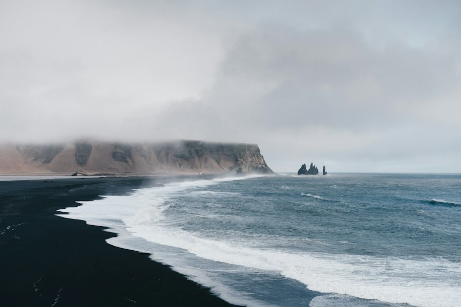
Hexagonal basalt columns and Reynisdrangar sea stacks at Reynisfjara beach near Vík #6 on Map
Basalt Stacks & Puffins 2WD / Camper Accessible

Dyrhólaey Sea Arch & Reynisfjara Black Sand Beach

📍 South Coast • Day 2 (187 km from Reykjavík) · 63.40°N, 19.05°W

Marvel at hexagonal Hálsanefshellir basalt columns and nesting puffins (May–mid Aug) at Dyrhólaey. Always obey the yellow/red wave warning lights at Reynisfjara and stay well back from the surf.

⛺ Camp nearby: Vík í Mýrdal Campsite (5 mins) or Þakgil Canyon (35 mins)
Blue glacier ice and volcanic ridges at Skaftafell in Vatnajökull National Park #7 on Map
Vatnajökull National Park 2WD / Camper Accessible

Skaftafell Glacier Hikes & Svartifoss Waterfall

📍 Southeast • Day 3 (326 km from Reykjavík) · 64.02°N, 16.97°W

Hike the 5.5 km loop to Svartifoss (the dark basalt-column waterfall that inspired Hallgrímskirkja church) and join a certified 3-hour crampon glacier walk on Falljökull outlet glacier.

⛺ Camp nearby: Skaftafell National Park Campground (On-site)
Luminous blue icebergs floating in Jökulsárlón Glacier Lagoon beneath Breiðamerkurjökull #8 on Map
Iceberg Lagoon & Seals 2WD / Camper Accessible

Jökulsárlón Glacier Lagoon & Diamond Beach

📍 Southeast • Day 3 (380 km from Reykjavík) · 64.05°N, 16.18°W

Watch house-sized icebergs calve from Breiðamerkurjökull glacier, drift past curious harbor seals, and wash onto the jet-black volcanic sand of Diamond Beach across the bridge.

⛺ Camp nearby: Skaftafell (45 mins west) or Höfn (60 mins east)
Mountain pass and fjord harbor at Seyðisfjörður in East Iceland #9 on Map
Fjord Village & Basalt Canyon 2WD / Camper Accessible

Seyðisfjörður Rainbow Street & Stuðlagil Basalt Canyon

📍 Eastfjords • Day 4–5 · 65.26°N, 14.01°W

Drive over the dramatic Fjarðarheiði mountain pass past Gufufoss waterfall into the artistic timber village of Seyðisfjörður, and detour into Jökuldalur to hike beside the turquoise river of Stuðlagil Canyon.

⛺ Camp nearby: Egilsstaðir Camp & Hostel or Seyðisfjörður Campsite
Roaring glacial waterfall in a basalt canyon in North Iceland #10 on Map
Europe’s Most Powerful Waterfall 2WD / Camper Accessible

Dettifoss Waterfall & Ásbyrgi Canyon

📍 Diamond Circle • Day 5–6 · 65.81°N, 16.38°W

Feel the ground tremble beside Dettifoss, where up to 500 cubic meters of sediment-rich glacial water thunder 44 meters into Jökulsárgljúfur canyon every second. Take paved Route 862 for smooth access.

⛺ Camp nearby: Ásbyrgi Canyon Campground (30 mins north)
Lake Mývatn volcanic landscape and aurora skies in North Iceland #11 on Map
Volcanic Craters & Mud Pots 2WD / Camper Accessible

Lake Mývatn Geothermal Area & Goðafoss Waterfall

📍 North Iceland • Day 5–6 · 65.64°N, 16.85°W

Explore boiling sulfuric fumaroles at Hverir (Námafjall), lava pillars at Dimmuborgir, pseudocraters at Skútustaðagígar, and Mývatn Nature Baths before stopping at horseshoe-shaped Goðafoss ("Waterfall of the Gods").

⛺ Camp nearby: Mývatn Hlíð Campsite or Hamrar Akureyri
Geothermal infinity pool overlooking a fjord in North Iceland #12 on Map
Whale Capital & North Hub 2WD / Camper Accessible

Húsavík Whale Watching & Akureyri (Forest Lagoon)

📍 North Iceland • Day 6–7 · 66.04°N, 17.34°W

Sail out on a traditional oak boat or RIB speedboat from Húsavík to spot humpback and blue whales (97% summer sighting rate), soak in Geosea or Akureyri’s Forest Lagoon, and drive the scenic Tröllaskagi peninsula.

⛺ Camp nearby: Húsavík Campground or Hamrar Akureyri
Kirkjufell mountain and Kirkjufellsfoss waterfall on the Snæfellsnes Peninsula #13 on Map
“Iceland in Miniature” 2WD / Camper Accessible

Kirkjufell Mountain & Snæfellsjökull National Park

📍 Snæfellsnes Peninsula • Day 5 or Day 8 · 64.92°N, 23.31°W

Photograph arrowhead-shaped Mt. Kirkjufell framed by Kirkjufellsfoss, walk the basalt cliffs between Arnarstapi and Hellnar, spot seals at Ytri Tunga, and visit the black timber church at Búðir.

⛺ Camp nearby: Grundarfjörður, Stykkishólmur, or Arnarstapi Campsite
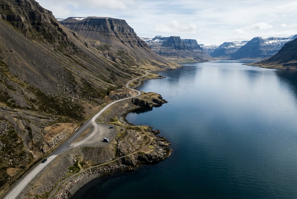
Winding fjord highway beneath steep coastal mountains in the Westfjords of Iceland #14 on Map
Remote Fjord Wilderness 2WD / Camper Accessible

Dynjandi Waterfall & Látrabjarg Puffin Cliffs

📍 Westfjords • 14-Day Itinerary (Days 9–11) · 65.73°N, 23.20°W

Hike past six smaller cascades up to the 100-meter bridal-veil fan of Dynjandi ("The Thunderer"), walk the golden-red sands of Rauðisandur, and watch fearless puffins along the 440m sea cliffs of Látrabjarg.

⛺ Camp nearby: Dynjandi Campsite or Tungudalur Ísafjörður
Rhyolite rainbow mountains and hikers at Landmannalaugar in the Icelandic Highlands #15 on Map
Highland F-Road & Hot Pot 4x4 F-Road Only

Landmannalaugar Rainbow Mountains (F208)

📍 Central Highlands • Summer Only (Mid-June to Sept) · 63.99°N, 19.06°W

Hike through multi-colored rhyolite peaks, steaming sulfur vents, and the Laugahraun obsidian field (Brennisteinsalda or Bláhnúkur loop), then soak in the natural geothermal river. Take F208 North to avoid deep rivers.

⛺ Camp nearby: Landmannalaugar Highland Basecamp (On-site)
4x4 SUV driving across a volcanic mountain track in the Icelandic Highlands #16 on Map
Geothermal Highland Valley 4x4 F-Road Only

Kerlingarfjöll (Hveradalir) & Kjölur Route 35

📍 Central Highlands • Summer Only (Mid-June to Sept) · 64.64°N, 19.28°W

Accessible via unbridged-river-free Route 35 (Kjölur) north of Gullfoss. Hveradalir in Kerlingarfjöll features surreal orange rhyolite hills, year-round snowfields, and roaring geothermal steam vents connected by wooden stairs.

⛺ Camp nearby: Kerlingarfjöll Highland Base or Hveravellir
03 / Day-by-Day Blueprints

7-Day, 10-Day & 14-Day Iceland Road Trip Itineraries

Select your trip length below to view a suggested day-by-day route with approximate driving distances, key highlights, and overnight bases.

Best for May – September

10-Day Complete Ring Road (Route 1) & Snæfellsnes Loop

The gold-standard Iceland road trip: enough time to circle the entire island counter-clockwise plus explore Lake Mývatn, Húsavík whale watching, and the Snæfellsnes Peninsula.

Total Distance: ~2,050 km (1,275 miles)
Recommended Vehicle: Mid-Size 4x4 SUV or Heated Campervan
Direct Fleet Matches (Go Rentals):
Day Route & Overnight Base Drive Distance Key Stops & Notes
Day 1 KEF Airport → Golden Circle → Hella / Hvolsvöllur 210 km Þingvellir tectonic rift, Geysir geothermal area, Gullfoss waterfall, and Kerið volcanic crater.
Day 2 Hvolsvöllur → Waterfalls & Black Sand Beaches → Vík / Kirkjubæjarklaustur 180 km Seljalandsfoss, Gljúfrabúi, Skógafoss, Dyrhólaey promontory, and Reynisfjara black sand beach.
Day 3 Kirkjubæjarklaustur → Skaftafell → Jökulsárlón → Höfn 210 km Skaftafell glacier walk, Svartifoss, Fjallsárlón & Jökulsárlón glacier lagoons, Diamond Beach, and Stokksnes (Vestrahorn).
Day 4 Höfn → Eastfjords → Seyðisfjörður / Egilsstaðir 260 km Dramatic coastal fjords, Djúpivogur fishing village, Studlagil basalt canyon detour, and rainbow street of Seyðisfjörður.
Day 5 Egilsstaðir → Dettifoss → Lake Mývatn 185 km Dettifoss (Europe’s most powerful waterfall), Hverir boiling mud pots, Dimmuborgir lava formations, and Mývatn Nature Baths.
Day 6 Mývatn → Húsavík Whale Watching → Goðafoss → Akureyri 145 km Morning whale watching in Húsavík (or Ásbyrgi canyon), Goðafoss waterfall, and evening in Akureyri (Forest Lagoon).
Day 7 Akureyri → Tröllaskagi Peninsula (Siglufjörður) → Hvammstangi 265 km Scenic coastal tunnels of Siglufjörður, Hofsós infinity geothermal pool, and Kolugljúfur canyon.
Day 8 Hvammstangi → Snæfellsnes Peninsula (Stykkishólmur / Arnarstapi) 230 km Kirkjufell & Kirkjufellsfoss, Djúpalónssandur pebble beach, Londrangar cliffs, and Arnarstapi coastal walk.
Day 9 Snæfellsnes → Borgarfjörður → Reykjavík 190 km Ytri Tunga seals, Hraunfossar lava waterfalls, and afternoon/evening exploring Reykjavík.
Day 10 Reykjavík → Reykjanes Geopark / Blue Lagoon → KEF Airport 70 km Morning bakery walk in Reykjavík, Gunnuhver hot springs or geothermal lagoon soak, and car drop-off at KEF.
Route-Matched Vehicles & Heated Campervans

Recommended Rental Cars & Campervans for Iceland Road Trips

Compare fuel-efficient Ring Road 2WDs, F-road-approved 4x4 SUVs, and Webasto-heated campervans with direct KEF Airport pickup.

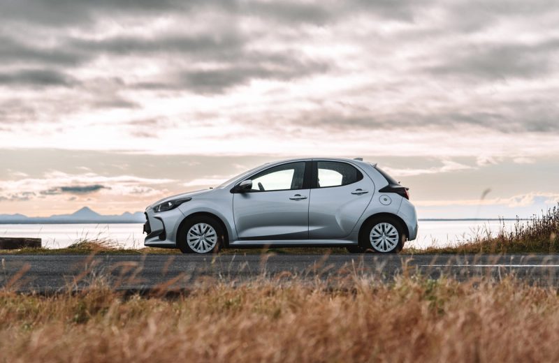
Toyota Yaris automatic compact rental car parked by the coast in Iceland
Go Car Rental Ring Road & Paved

Toyota Yaris (Automatic)

Economy 2WD • 2WD (Front-Wheel Drive)

⚙ Automatic 👥 5 Seats 🧳 2 Bags

Best for: Couples or solo travelers sticking to paved Route 1 (Ring Road), the Golden Circle, and the South Coast in summer.

  • Automatic transmission & low fuel consumption (~5.0L/100km)
  • Apple CarPlay / Android Auto & heated front seats
  • 24/7 Keflavík Airport (KEF) & Reykjavík pickup
Estimated Starting Rate
From $51/day · May–Sept Paved Ring Road
KEF / RVK
View Toyota Yaris & Rates
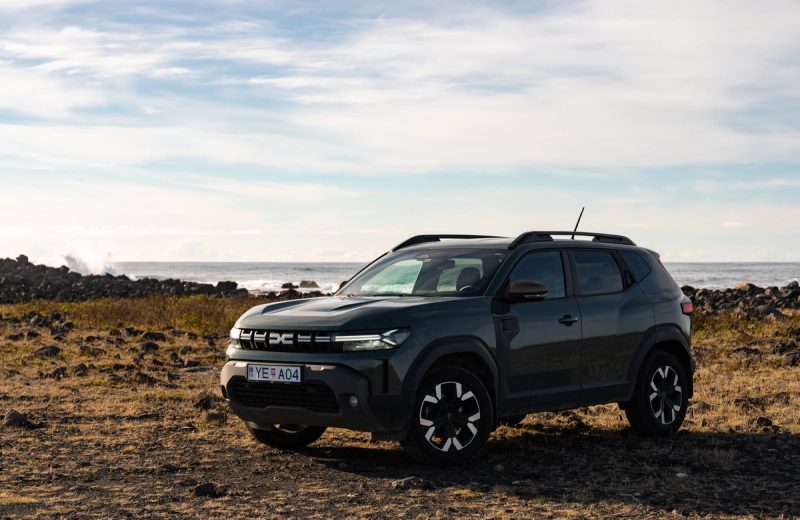
Dacia Duster 4x4 SUV parked on a rocky coastline in Iceland
Go Car Rental ✓ F-Road Approved

Dacia Duster 4x4

Value 4x4 SUV • 4x4 / All-Wheel Drive

⚙ Manual 👥 5 Seats 🧳 3–4 Bags

Best for: Iceland’s #1 value 4x4 for Kjölur (Route 35), Landmannalaugar (F208 North), Westfjords gravel passes, and winter roads.

  • Contractually F-road approved with selectable 4WD Lock mode
  • 210mm high ground clearance for gravel ruts and potholes
  • Fitted with studded winter tires free of charge Nov–Apr
Estimated Starting Rate
From $58/day · F-Road & Winter Ready
KEF / RVK
View Dacia Duster 4x4 & Rates
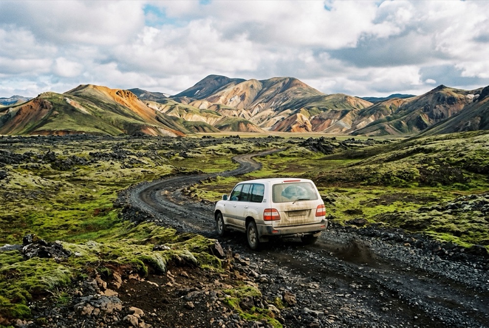
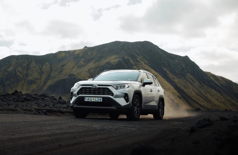
Toyota RAV4 4x4 automatic SUV driving on a volcanic gravel road in the Icelandic Highlands
Go Car Rental ✓ F-Road Approved

Toyota RAV4 4x4 (Automatic)

Mid-Size 4x4 SUV • 4x4 / All-Wheel Drive

⚙ Automatic 👥 5 Seats 🧳 4 Large Bags

Best for: The gold-standard 10–14 day Ring Road, Westfjords, and Highland SUV with generous luggage capacity and confident winter handling.

  • Spacious cabin & trunk for 4 adults with full luggage
  • F-road approved for Landmannalaugar (F208 North) & Kjölur
  • Excellent stability in coastal crosswinds and winter snow
Estimated Starting Rate
From $82/day · Top Ring Road & Highland SUV
KEF / RVK
View Toyota RAV4 4x4 & Rates
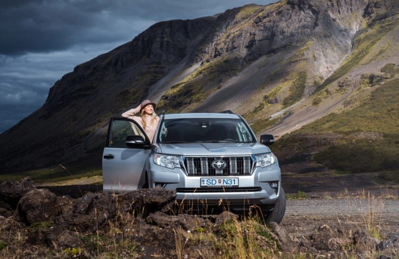
Toyota Land Cruiser 4x4 SUV parked below a dramatic mountain slope in Iceland
Go Car Rental ✓ F-Road Approved

Toyota Land Cruiser 4x4 (Auto)

Full-Size Highland 4x4 • Full-Time 4WD (Low Range)

⚙ Automatic 👥 5–7 Seats 🧳 5 Large Bags

Best for: Demanding interior Highland F-roads (F208 South, F26 Sprengisandur, Askja), rough volcanic tracks, and severe winter conditions.

  • True body-on-frame 4WD with high wading clearance
  • Commanding visibility and maximum comfort on long gravel drives
  • Preferred choice for advanced summer Highland expeditions
Estimated Starting Rate
From $180/day · Heavy-Duty Highland 4x4
KEF / RVK
View Land Cruiser 4x4 & Rates
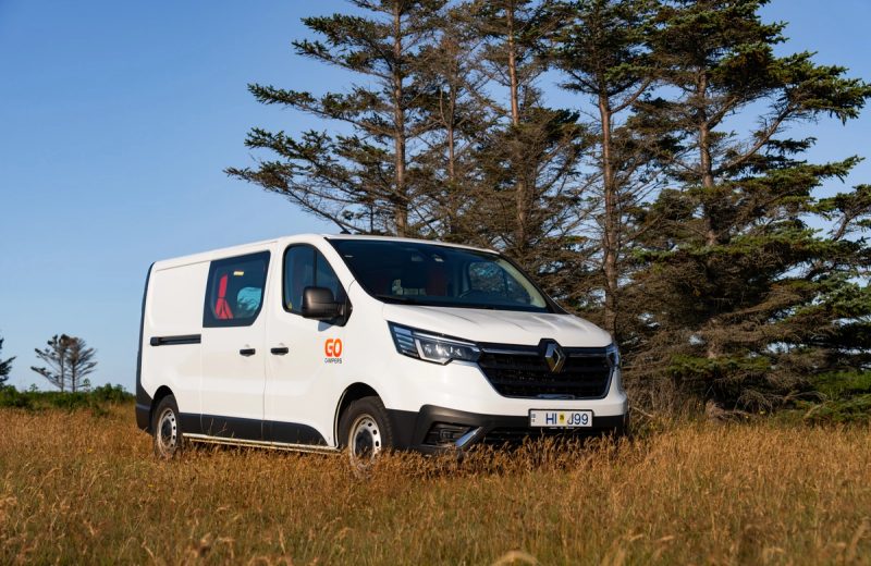
Go LITE Automatic heated campervan parked beside evergreen trees in Iceland
Go Campers Ring Road & Paved

Go LITE Camper (Automatic)

Automatic Heated Campervan • 2WD (Paved & Main Gravel)

⚙ Automatic 🛏 Sleeps 2–3 Adults 🧳 3 Soft Bags 🔥 Webasto Heated

Best for: Two or three travelers wanting effortless automatic driving and extra interior lounge room for rainy evenings along Route 1.

  • Automatic transmission + thermostatic Webasto night heater
  • Spacious 3-person sleeping layout + complete kitchen box and stove
  • Unlimited mileage and KEF Airport / Reykjavík pickup
Estimated Starting Rate
From $85/day · Auto + Webasto Heater
KEF / RVK
View Go LITE Auto & Rates
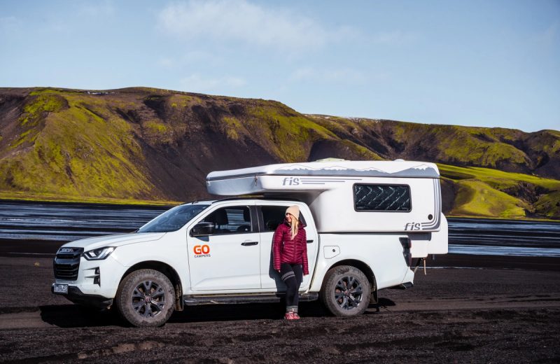
Go 4x4 PRO automatic Highland campervan parked on black volcanic sand beside a river in Iceland
Go Campers ✓ F-Road Approved

Go 4x4 PRO Camper (Automatic)

Flagship Auto 4x4 Camper • 4x4 / Four-Wheel Drive

⚙ Automatic 🛏 Sleeps 2–4 Adults 🧳 4 Soft Bags 🔥 Webasto Heated

Best for: Dedicated Highland F-road expeditions and winter aurora campervan trips requiring automatic 4WD clearance and a warm insulated cabin.

  • Automatic 4x4 drivetrain certified for Highland F-roads
  • Heavy-duty insulation + Webasto night heater for all-season comfort
  • Spacious interior layout with stove, fridge, and sink
Estimated Starting Rate
From $224/day · Auto 4x4 • Year-Round & Highlands
KEF / RVK
View Go 4x4 PRO & Rates

Reference daily starting rates reflect low/shoulder-season base estimates. Check live seasonal pricing, real-time fleet availability, and full insurance options directly on Go Car Rental and Go Campers.

Match Your Vehicle to Your Route via Go Car Rental Iceland

Book a Reliable 2WD, 4x4 SUV, or Heated Campervan for Your Iceland Road Trip

Whether you are tackling the 10-day Ring Road or heading into the Westfjords and Highlands, compare fuel-efficient 2WDs, F-road-ready 4x4 SUVs at Go Car Rental, and Webasto-heated campervans at Go Campers.

Live seasonal pricing, real-time vehicle or tour availability, and full booking terms are provided directly on the operator's website.

04 / Iceland's Most Iconic Stretch

South Coast Route Guide (Reykjavík to Jökulsárlón — 380 km One Way)

Stretching between the mossy lava plains of Selfoss and the calving icebergs of Vatnajökull National Park, the South Coast packs glaciers, black sand beaches, and waterfalls along paved Route 1.

Skógafoss waterfall on the South Coast of Iceland
Stage 1 · Hvolsvöllur to Vík (190 km)

Waterfalls, Sea Arches & Reynisfjara Safety

• Seljalandsfoss & Gljúfrabúi: Pack waterproof rain pants and a shell jacket to walk behind the 60m cascade and wade into the hidden canyon waterfall next door.
• Skógafoss & Kvernufoss: Climb the 527 steps above Skógafoss for the start of the Fimmvörðuháls trail, or take the 15-minute walk behind lesser-known Kvernufoss.
• Dyrhólaey & Reynisfjara Black Sand Beach: Observe the warning light system at Reynisfjara closely. Never turn your back on the ocean—deadly sneaker waves (lagdeyjur) surge far up the basalt beach without warning.

Jökulsárlón Glacier Lagoon and floating blue icebergs in Southeast Iceland
Stage 2 · Vík to Höfn (270 km)

Canyons, Skaftafell Glacier Hikes & Ice Lagoons

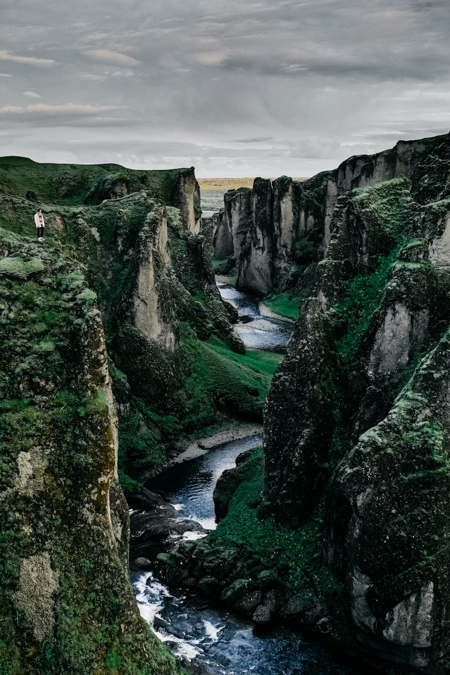
• Eldhraun & Fjaðrárgljúfur: Cross the 1783 Laki moss-covered lava field and follow the boardwalk trail above Fjaðrárgljúfur canyon.
• Skaftafell & Svartifoss: Hike to basalt-framed Svartifoss (1.5 hrs round trip) or join a certified glacier guide on Falljökull with crampons.
• Fjallsárlón, Jökulsárlón & Diamond Beach: Watch blue icebergs drift out to the Atlantic and wash ashore on Breiðamerkursandur black diamond beach.

Compare Guided Glacier Hikes & Zodiac Boat Tours →
05 / Day Trip or Ring Road Kickoff

The Golden Circle Route (230–300 km Loop)

Easily driven in 6 to 8 hours on paved roads year-round, the Golden Circle combines tectonic rifts, erupting geysers, and glacial waterfalls—and makes an ideal Day 1 or final day on a longer road trip.

Þingvellir National Park tectonic canyon and river
Stop 1

Þingvellir National Park

Walk through the Almannagjá gorge between the North American and Eurasian tectonic plates, site of Iceland's parliament founded in 930 AD. You can also snorkel crystal-clear Silfra fissure in a drysuit.

Steaming geothermal vents in Haukadalur valley
Stop 2

Haukadalur Geothermal Valley (Geysir)

Watch Strokkur erupt boiling water 20–30 meters into the air every 6 to 10 minutes. Stay strictly inside the roped boardwalks, as surface runoff exceeds 80°C–100°C.

Geothermal lagoon and waterfall detours on the Golden Circle
Stop 3 + Detours

Gullfoss, Kerið & Hot Springs

After viewing two-tiered Gullfoss waterfall, add a soak at Secret Lagoon (Flúðir) or Laugarvatn Fontana, lunch at Friðheimar tomato greenhouse, and a walk around Kerið volcanic crater lake.

05 / Interior Mountain Tracks

F-Roads & Highland Driving Guide

Iceland’s interior Highlands open only for a brief window between mid-June and September once snowmelt subsides. Always verify live road opening status on road.is before departing.

Route Difficulty & Rivers Minimum Vehicle Why Drive It?
Route 35 (Kjölur)
Gullfoss to Blönduós (165 km)
Beginner Highland Track: Rough corrugated gravel and potholes, but zero unbridged rivers. Any F-road-approved 4x4 SUV
Accesses colourful Kerlingarfjöll rhyolite mountains and Hveravellir geothermal hot springs.
F208 North (Sigalda Route)
Route 26 to Landmannalaugar
Moderate Gravel Track: Rocky, bumpy volcanic track, but no river crossings until the final campsite parking lot. F-road-approved 4x4 SUV or 4x4 Camper (park before final river)
The safest self-drive route to Landmannalaugar’s rainbow mountains and natural hot pot.
F208 South (Fjallabak)
Landmannalaugar to Kirkjubæjarklaustur
Advanced: Over 15–20 unbridged river crossings of varying depth plus Eldgjá volcanic canyon. High-clearance full-size 4x4 + river experience
Spectacular black ash deserts, green mountains, and Ófærufoss waterfall in Eldgjá canyon.
F26 (Sprengisandur) & F88 (Askja)
Deep Interior Desert
Expert Only: 200+ km with zero cell signal, zero gas stations, and deep glacial rivers (like Lindaá). Large full-size 4x4 or guided Super Jeep tour
True lunar wilderness used by Apollo astronauts for training near Askja caldera.

Don't Want to Risk Unbridged Rivers in a Rental Car?

Because water damage is excluded from all Icelandic rental car insurance policies, many travelers park on paved roads and take a highland bus or Super Jeep day tour into Þórsmörk, Landmannalaugar, or Askja.

Explore Highland Super Jeep & Glacier Tours →

How many days do you need to drive the Ring Road in Iceland?

In summer (May through September), 7 full days is the minimum to drive the 1,322 km Ring Road (Route 1), while 10 days is the sweet spot that allows you to add the Snæfellsnes Peninsula, Húsavík whale watching, and glacier hikes without rushing. With 14 days, you can also include the Westfjords and Highland F-roads.

Is the Iceland Ring Road completely paved?

Approximately 98% of Route 1 (the Ring Road) is paved two-lane asphalt, with only short gravel sections remaining in East Iceland and a single-lane bridge network in the Southeast. However, many scenic detours—such as Borgarfjörður Eystri, Westfjords passes, and waterfall access roads—are gravel.

Should I drive the Ring Road clockwise or counter-clockwise?

Around 70% of visitors drive counter-clockwise (South Coast first), starting with Seljalandsfoss, Skógafoss, Vík, and Jökulsárlón Glacier Lagoon. If you are travelling by campervan or tent, check the 5-day wind and rain forecast on vedur.is when you land and choose whichever direction gives you drier weather first.